
Mount Robert to Angelus hut – The Robert Ridge Route
I started today thinking I would do a quick jaunt up Mount Robert in the Nelson Lakes National Park. Nothing too strenuous, just a quick up and down. As it turned out it was such a glorious day that I just carried on walking, with a bit of running thrown in. It ended up being the most incredible return to Angelus hut along the Robert Ridge route, which took around 6 hours in total.
DOC rate the Robert Ridge Route as an advanced tramping track/route (6 hours ONE way). With a full pack, you would certainly need to plan for a longer journey than mine today. Also, you certainly wouldn’t want to do it in less-than-great weather conditions. The track takes you over a high, exposed ridge, navigating rocky scrambly sections and rock hopping.
Come well prepared for all weathers. In all, you climb from around 900m at the car park to nearly 1800m on the ridge. The Angelus hut sits at 1650m. In bad weather conditions, this track has claimed lives. There is now signage at the top of the Pinchgut track urging trampers to turn back if they are not properly equipped or if the weather is bad. Bring a PLB, warm and waterproof clothing, sunscreen, a hat and plenty of food and water.
Mount Robert
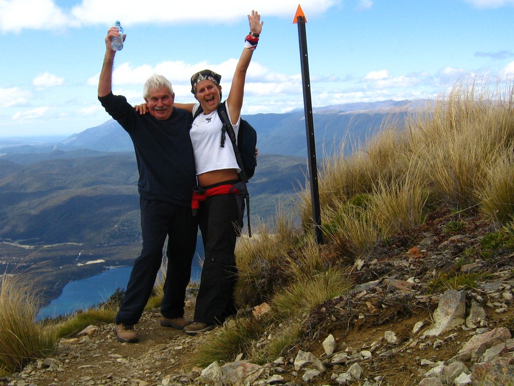
Mount Robert is on the Western side of Lake Rotoiti, and the Robert Ridge a little further on separates Lake Rotoiti from Lake Rotoroa. I last came up Mount Robert with my dad over 12 years ago, and remember it being a bit of a struggle, so I wondered what I would make of it this time.

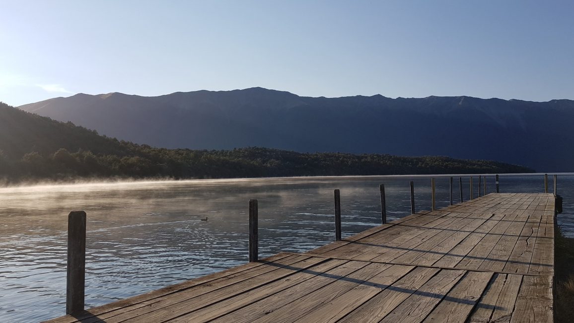
I enjoyed breakfast at West Bay on Lake Rotoiti and made a rather leisurely start at 9.10 am from the upper Mount Robert car park.
At the car park, there was a nice information board, a little shelter and a decent toilet. There are a couple of trails up Mount Robert (which you can do as a loop track). I took the Pinchgut track – the quickest and steepest route up. Paddy’s Track starts a little way down the road.
Pinchgut Track
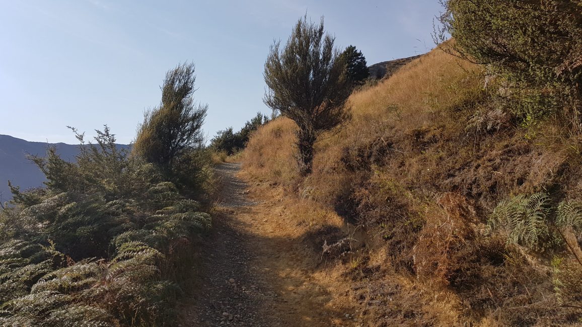
The Pinchgut track began as a flat, wide trail, but that only lasted about 50 metres – then the climb began!

The Pinchgut track climbs about 500m through a series of zigzag turns. It was a decent, well-graded track up the open face of the mountain. As I climbed, every few turns took me into the forest and some very welcome shade! Eventually, the trail entered the beech forest and became a little more rooty underfoot.

I was up and out of the tree line 50 minutes later, at 10 am. As I continued up, I looked for the tiny shelter at the tree line before the summit. I remember dad had run the last 50m to it, which I had captured on video as proof for mum. It was a foolish undertaking, but extremely funny.
There was no shelter any more – but there was a lovely bench. I paused, had a drink, marvelled at the lake view and decided to continue on. I followed the track up and across a flatter section surrounded by beautiful tussock. Passing the Relax shelter, the trail continued to climb gently another 200m or so until I was on the ridge.
The Robert Ridge
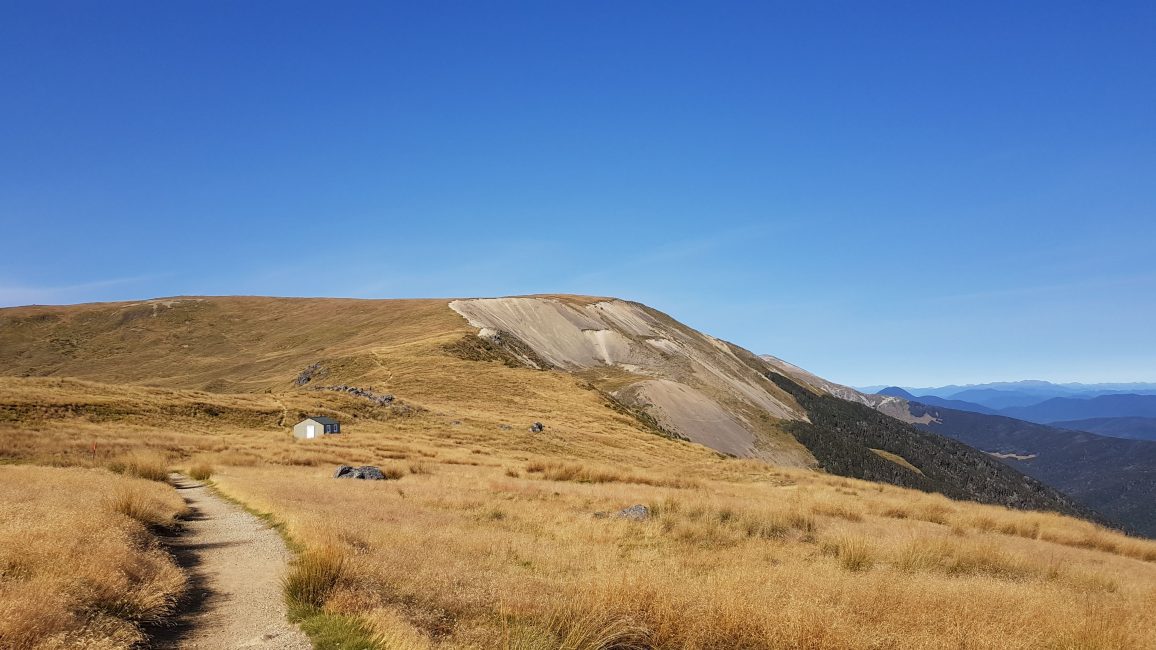
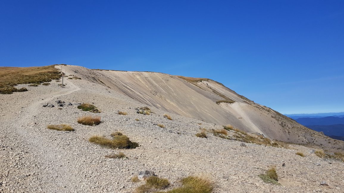
By 10.20 am I had reached the ridge and was looking down upon 2nd Basin, and an old ski field. I could see the Robert Ridge ahead of me.


I sidled around the basin and came to the start of the Robert Ridge Route. It was perfect. There was no wind, the sun was shining and I was completely alone. When I find myself in these ‘wilderness moments’ with perfect conditions, when nothing else matters, and all you have to think about is putting one foot in front of the other – I say a few words of gratitude to the world, for allowing me to be here.
In these perfect conditions, the trail was obvious, and the route was well-marked with poles. There were a few rocky outcrops to negotiate.

I powered along, enjoying the easy trail, and even broke into a run now and again where it wasn’t too rocky.

Half Way – Julius Summit
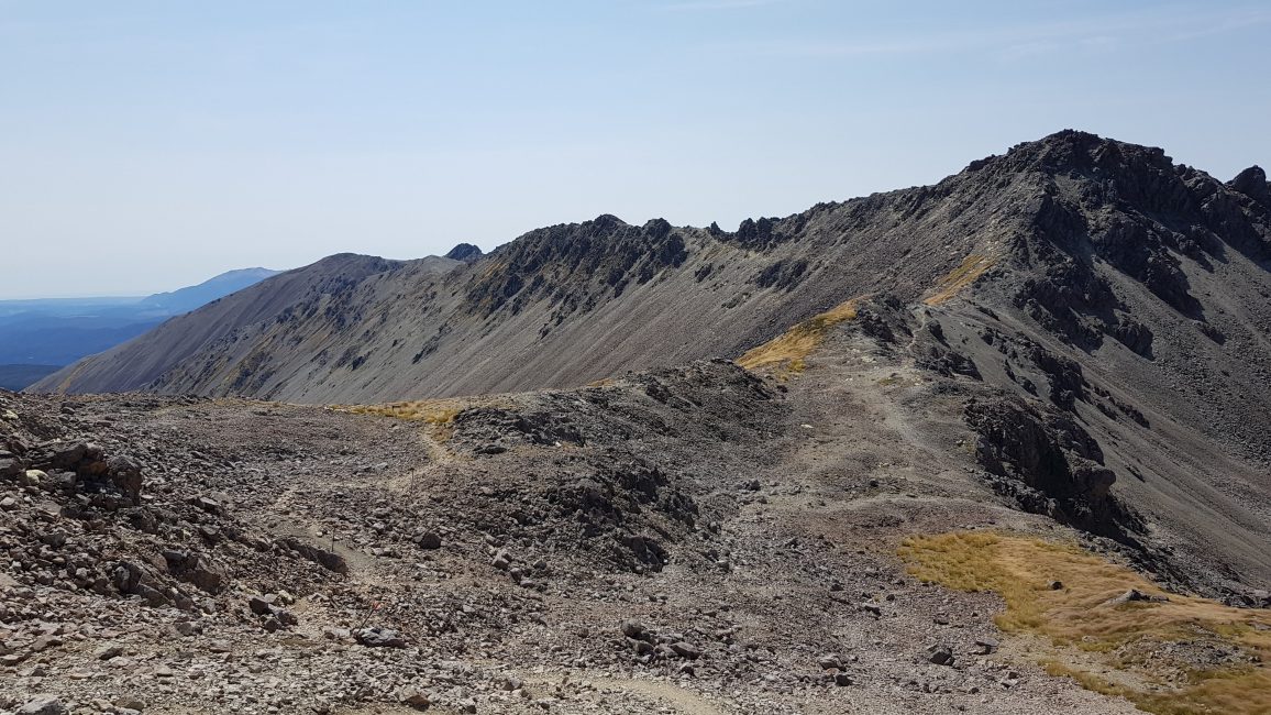
As I approached landmarks like Julius Summit (roughly half way to Angelus hut) I remember thinking, that this was a pretty serious undertaking. I was checking my topo map, but the track was so open, and the country so big, that everything just seemed to be so huge. This beautiful ridge seemed to go on and on!
From here, I started meeting a few people coming the other way from Angelus hut. All of them were doing the 2-day circuit along the Western shore of Lake Rotoiti, up to the hut via the Cascade track and back via the Robert Ridge.

Below Julius summit, the trail began to get more technical. From here there were spots of rock-hopping across avalanches, keep your footing on slippery scree slopes, and a bit of scrambling and climbing. I enjoyed every single moment and was travelling fast and light with a day pack (filled with the necessaries and emergency gear of course).
On this trip, I didn’t bring my hiking poles. Anyone who has ever suffered hiking with me over avalanche terrain on a multi-day expedition will know how slow I can be. I’m always scared of breaking an ankle. This time it was different – maybe because the rocky were grippy, or I was just having a good day.


I came to the turning for the Speargrass Creek route and knew I didn’t have far to go.

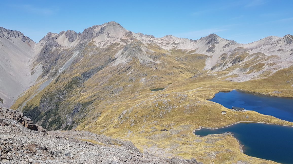
Lake Angelus
I came over a final small ridge and was greeted by the spectacular sight of Lake Angelus completely surrounded by mountains. The hut was perched just below me. It was so magical, I burst into tears!
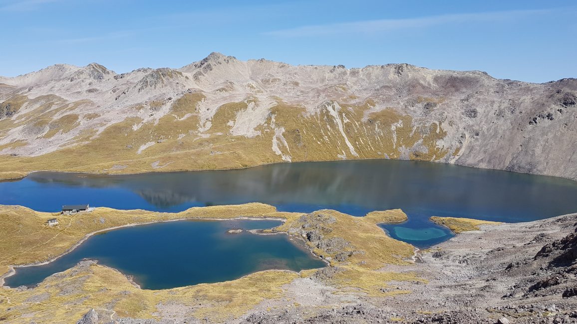
It was 12.20 pm – the ridge section from Pinchgut had taken a couple of hours. I sat down and had a break for 20 minutes, ate my sandwich and contemplated going down to the hut. In the end, I didn’t go and bag it – mainly because I didn’t fancy the hike back uphill. Instead, I stayed up on the ridge enjoying the break.
I left at 12.40 pm and was back at the tree line on Mt Robert by 2.45 pm. Again I was pretty fast as I jogged a few sections once I’d got past the rocky stuff. The wind had got up just a little, but nothing at all to worry about.


It took just 30 minutes to get down from the tree line to Mount Robert car park on the Pinchgut track, and I was back at 3.15 pm.
What a fabulous day! There are so many wonderful hikes to be done in this area including the Speargrass track and Angelus circuit as mentioned. Then further afield in the Nelson Lakes area there is the Travers Sabine circuit, D’Urville, Mt Misery, Mt Cedric… hmmmm which one next??
[…] In addition you get some awesome views of the Tasman and Golden Bay coastline and the mountains of Kahurangi National Park, The walkway is right on top of Takaka hill, about an hour’s drive out of Nelson. It is […]