
Nelson Lakes National Park – Parachute Rocks
The 5-hour return trip up to Parachute Rocks, St Arnaud range is well worth the 1000m climb. It’s a beautiful trail with incredible views in good weather. I made it part of a weekend at Nelson Lakes National Park and van camped overnight.
The Nelson Lakes National Park is approximately 1.5 hours drive south of Nelson. This magical area boasts a couple of beautiful glacial lakes – Rotoiti and Rotoroa, which are surrounded by mountains. These mountains form the beginnings of the magnificent Southern Alps which stretch most of the way down the South Island. The village of St Arnaud is the hub of the area with accommodation, a small shop, garage, eateries and an excellent DOC Visitor Centre.
There are a few DOC campgrounds in St Arnaud. Kerr Bay Campground is on Lake Rotoiti close to the village. West Bay Campground is on the western side of Lake Rotoiti, and I stayed in my van at the Teetotal Campsite which is just 1.5 km out of the village. Bookings are essential.
There are lots of activities to do in and around the area. I walked through here on Te Araroa trail, coming in from the Richmond ranges to the North, heading South down Lake Rotoiti towards the Travers Saddle. This time I was just here for the weekend so I wanted to squeeze in a couple of day hikes to the Parachute Rocks and up Mt Robert.

Parachute Rocks
When you are standing at the jetty looking over Lake Rotoiti, Parachute Rocks are up in the St Arnaud range immediately to your left. The climb up to Parachute Rocks takes you from approx 700m at the lake, up to a height of over 1400m, but it’s worth venturing another 200m to the top. If you have more time, turn right at the top and walk along the rocky ridgeline to the high point of 1787m.
It took me around 4.5 hours for my (approx) 12 km return including a walk along the ridge at the top. DOC rates the track as an Advanced Tramping Track and suggests 5 hours for the 10 km return trip to the ridge. Check out the DOC brochure for more details. You will need a good level of fitness. Be sure to take warm/waterproof gear, plenty of water and something to eat while you sit down to admire the views and congratulate yourself on your hard work.
I left the Teetotal campground at 2.30 pm, crossed the main road and headed left on the mountain bike track towards Lake Rotoiti. Within 20 minutes I was down at the lake and the start of the track on the Eastern side of the Kerr Bay campground. Numerous other tracks start from here too, from short nature walks to multi-day tramps.

St Arnaud Track to Parachute Rocks
I started the trail at 2.50 pm and passed some lovely information boards almost immediately. The first 20 minutes of trail very gently climbed through beautiful beech forest. After about 20 minutes I passed the turn-off for the loop track. The trail narrowed considerably and became a little more tree-rooty underfoot. I crossed a dry river bed early on.

From there the trail climbed steadily through the forest. Even though there wasn’t much of a view yet, the sights and sounds of the open beech forest was very enjoyable. I had been climbing for just under an hour when I started up the long switchbacks. By 3.55 pm the trees became more sparse and stunted, and it became rockier underfoot.

As I climbed, I began to get the odd glimpse through the trees of just how far I’d come. I reached the treeline (approx 1400m) at around 4.20 pm and realised how far I had left to go to get to the ridge!

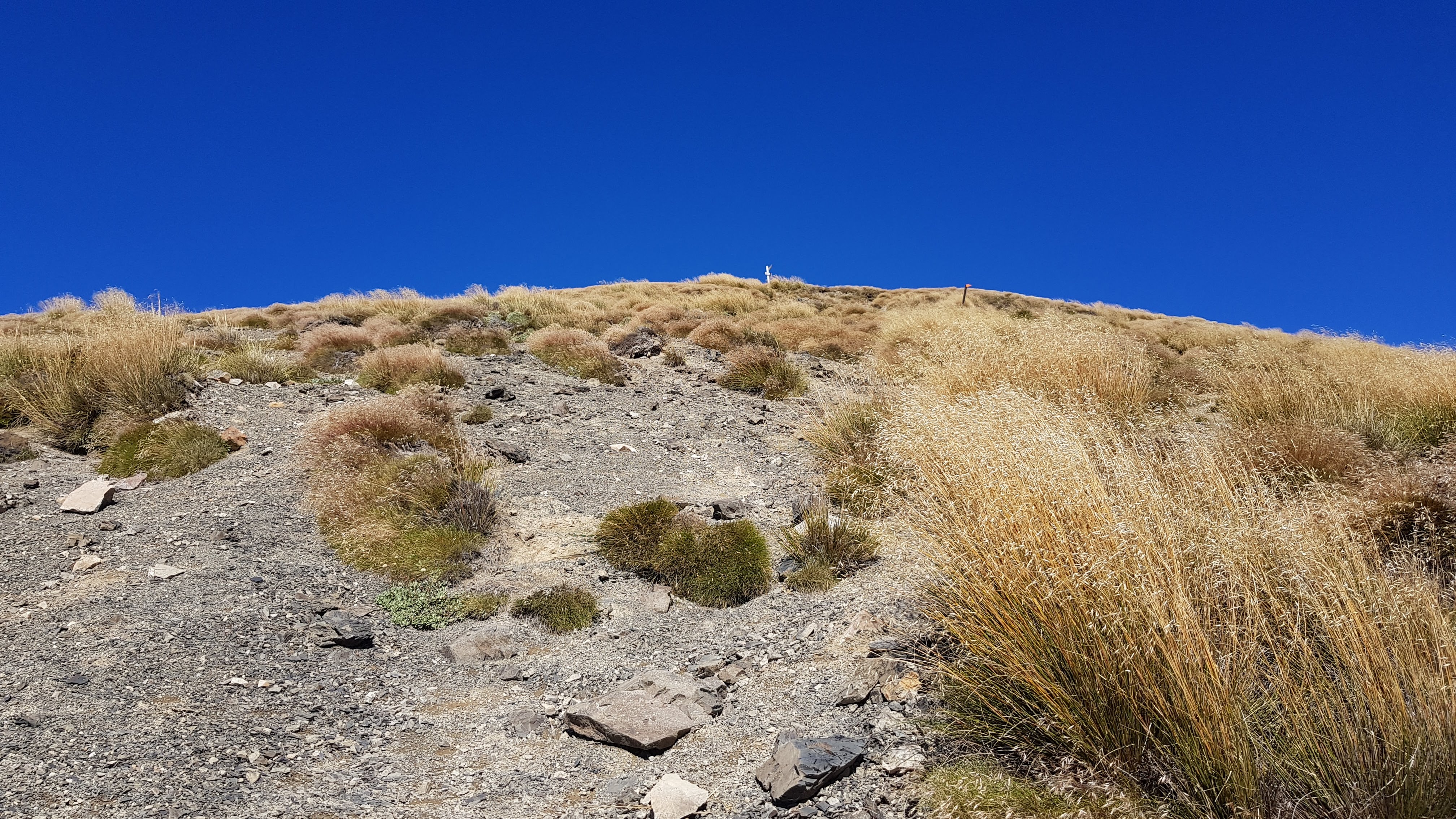
Almost there!
I reached the rocky outcrop at 4.30 pm and paused for a little break. The views were amazing! I had been wondering how the name came about, and read later that gravel/scree to the north fans out like a parachute.
The 200m climb to the ridge was pretty brutal after the steady 700m climb beforehand. The track was gouged, gravelly and slippy (even in these dry conditions) and steep! Up and up and up. I could see people coming down and making switchback turns. They didn’t seem to be getting any closer! I had numerous micro-breaks to check out the views and have a breather.

The St Arnaud Range
I reached the ridge at 4.50 pm. It had taken two hours to get up, which I was pretty pleased with. I could see the Richmond Ranges to the North the Wairau Valley to the East. To the West was the Kahurangi National Park and to the South was the Nelson Lakes National Park and the Southern Alps.

Then of course there was Lake Rotoiti shimmering in the late afternoon sun directly below.

I walked along the ridge over the smaller, rocky peaks and up to the high point of 1758m. It was narrow in places, and a bit scrambly too. The views were spectacular, and there was hardly any wind on this glorious late summer day. You certainly wouldn’t want to be up here in a gale! I had a break and marveled at the views before heading back down.


I started back at 5.30 pm. Thirty minutes later I had traversed the ridge and the gravelly switchbacks and was back at the tree line again. It felt great to be going downhill, and I almost ran down through the forest! I reached the lake at 7.10 pm.
**Update 2022**
Parachute Rocks is firmly up there on my list of favourite day walks and I have walked it several times since. Over the summer of 2022, I was lucky enough to get a volunteer stint working for DOC as a Biodiversity Ranger at Nelson Lakes. I explored much more of the area and learned about how the team protects the Biodiversity here. If you’re interested, check out how to become a volunteer for DOC. The Visitor Centre in St Arnaud has lots of information about the biodiversity of the area, which is worth spending time reading.
I also worked with the lovely, dedicated volunteers of the Friends of Rotoiti who have helped protect nature here for over 20 years! Check out their social media and their website to see what they are up to and/or contact them to offer your support and/or to make a donation.

For some more walks at the top of the south click the links below or use Search in the main menu bar:
- Robert Ridge to Angelus – day walk (overnight recommended)
- Lake Rotoiti to Mt Misery – overnight
- Mole Tops – overnight
- Bull Paddock Creek Hut – overnight
- Wye Route to Hidden Hut – 3 days, 2 nights
- Paske Hut – overnight
- Saxton, Severn Leatham Molesworth – 5 days 4 nights
- St James Walkway – 4 days 3 nights
- Hope, Doubtful, Nina Loop – 4 days 3 nights
- Tableland Circuit – Cobb Asbestos, Salisbury, Peel – overnight
- Tablelands Loop – Flora, Gordons, Salisbury, Balloon, Flora – overnight
- Mt Arthur – day walk
- Ellis Basin Route – 3 days, 2 nights
- Mt Owen Day 1, Day 2 – overnight
- Thousand Acre Plateau – 3 days 2 nights
- Anatoki Killdevil Pack Track – 3 days 2 nights
- Lockett Range & Mt Cobb Tops – 3 days 2 nights
- Kahurangi Lighthouse – overnight