
Carroll Hut Track and Kelly Range
The walk to Carroll Hut on the southern side of the Kelly Range in Arthur’s Pass National Park makes a great day walk, overnight, or base for a longer exploration around the tops. We made it a day walk on a sunny Sunday at the end of October. The track up to Carroll Hut is approximately 2.5 km and rises steeply up from the car park just off the Otira Highway. It’s a bit of a grunt and climbs from 350m to 1110m. DOC classifies it as an advanced tramping track.
- DOC Time: 3 hrs
- Our time up: 2 hrs
- Our time down: 1 hr 35 mins

Getting There
We headed over from Hokitika which took about an hour. The roads were practically empty, as the Rugby World Cup final was on. As we came down the Otira Highway we passed Morrisons Footbridge over the river then looked out for signs to the Cockayne Nature Walk before the Kellys Creek bridge (about 5 km north of Otira). There wasn’t any signage, but Google Maps had our back, and we turned right onto a decent gravel track that led to a large car park beside Kellys Creek.


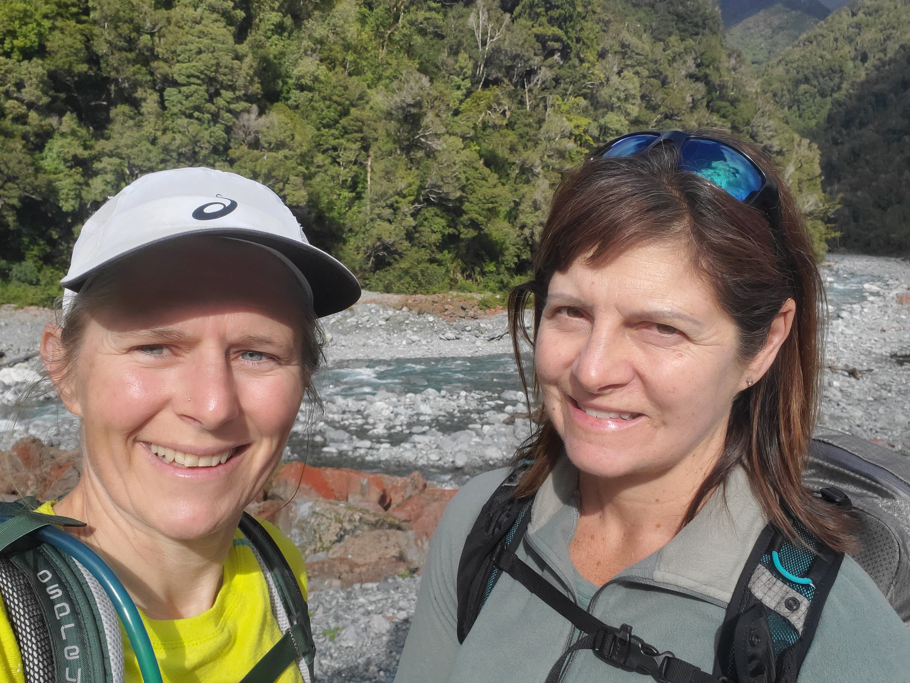
Carroll Hut hadn’t been today’s mission. Jules (another Jules) was visiting from Nelson and wanted some “big days outdoors”. We’d had a cold snap during the week and we didn’t fancy a freezing overnighter somewhere, so day walks were on the menu.
At the last minute, the weekend turned out to be an absolute stunner. I had initially decided on Te Kinga, but as we were driving there Carroll Hut popped into my mind. I’d had it tucked away for just such an occasion, and of course, bagging a hut plus great views, trumps (just) great views.
From the Car Park
The car park at the bottom of the track had an OK toilet. Someone had (rightly) thought twice about putting their wet wipes down the loo, but instead had thrown them on the ground outside it. I took them with me when we left at the end of the day.
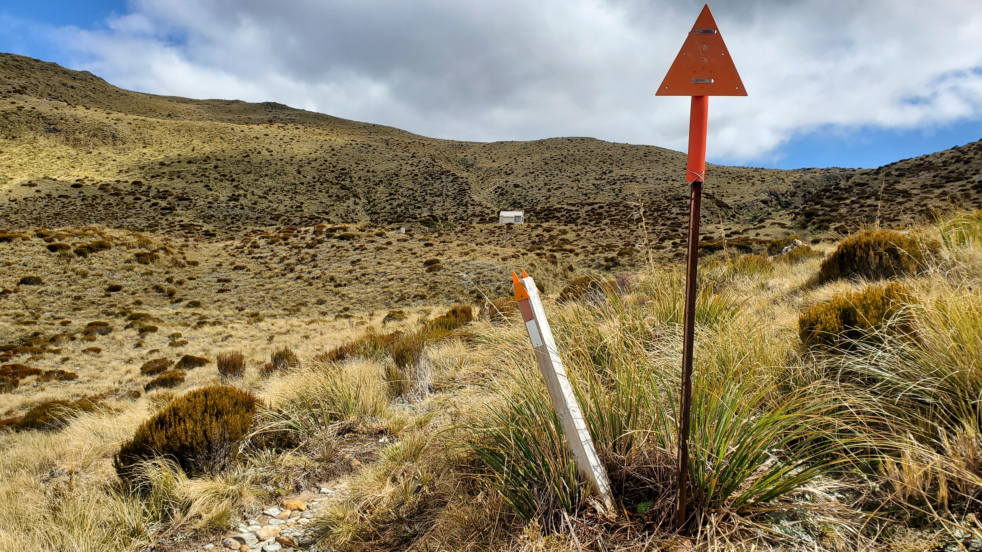
There was a choice of three tracks from the end of the car park. I hadn’t looked at the map so I picked the right-hand one (which was the nature walk) then tried the middle one (dead end) then chose the final option – to the left of the DOC sign and clearly marked with an orange marker. I’m sure Jules had complete faith in my navigational ability.
We started walking at 9.10 am. Just after the car park, there was a small stream to cross. We didn’t fancy wet feet this early on so did a quick shoes-off crossing.

Carroll Hut Track
The Carrol Hut Track started off in beautiful, ferny, mossy splendour and headed up the mountain parallel to the stream we’d crossed. The initial 150m or so elevation wasn’t that bad, and the track was in great shape.
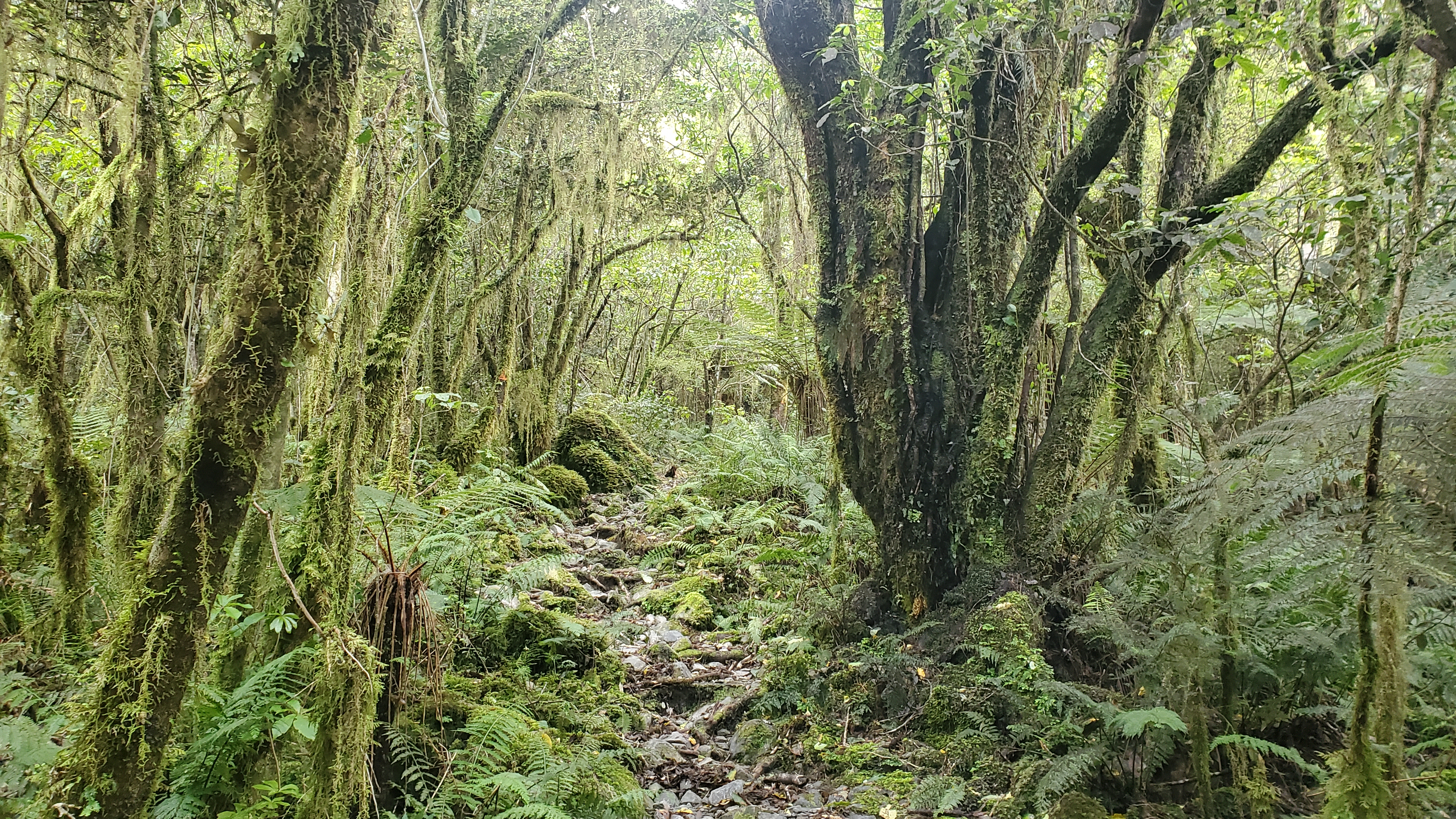
As it headed left away from the stream, it got steeper. We tackled it steadily with micro-breaks every now and again. It was easy to follow but underfoot became more tree rooty and rocky. As we climbed there were some scrambles but only one part that posed any real challenge – getting up a high slippery gravelly step. Jules picked right, I picked left. Neither of us did it gracefully.

Getting Higher
About an hour or so into the walk at 10.15 am we hit the dracophyllum zone, which I always love. Firstly because the trees are so lovely, but also because you know you’re getting up there in elevation.


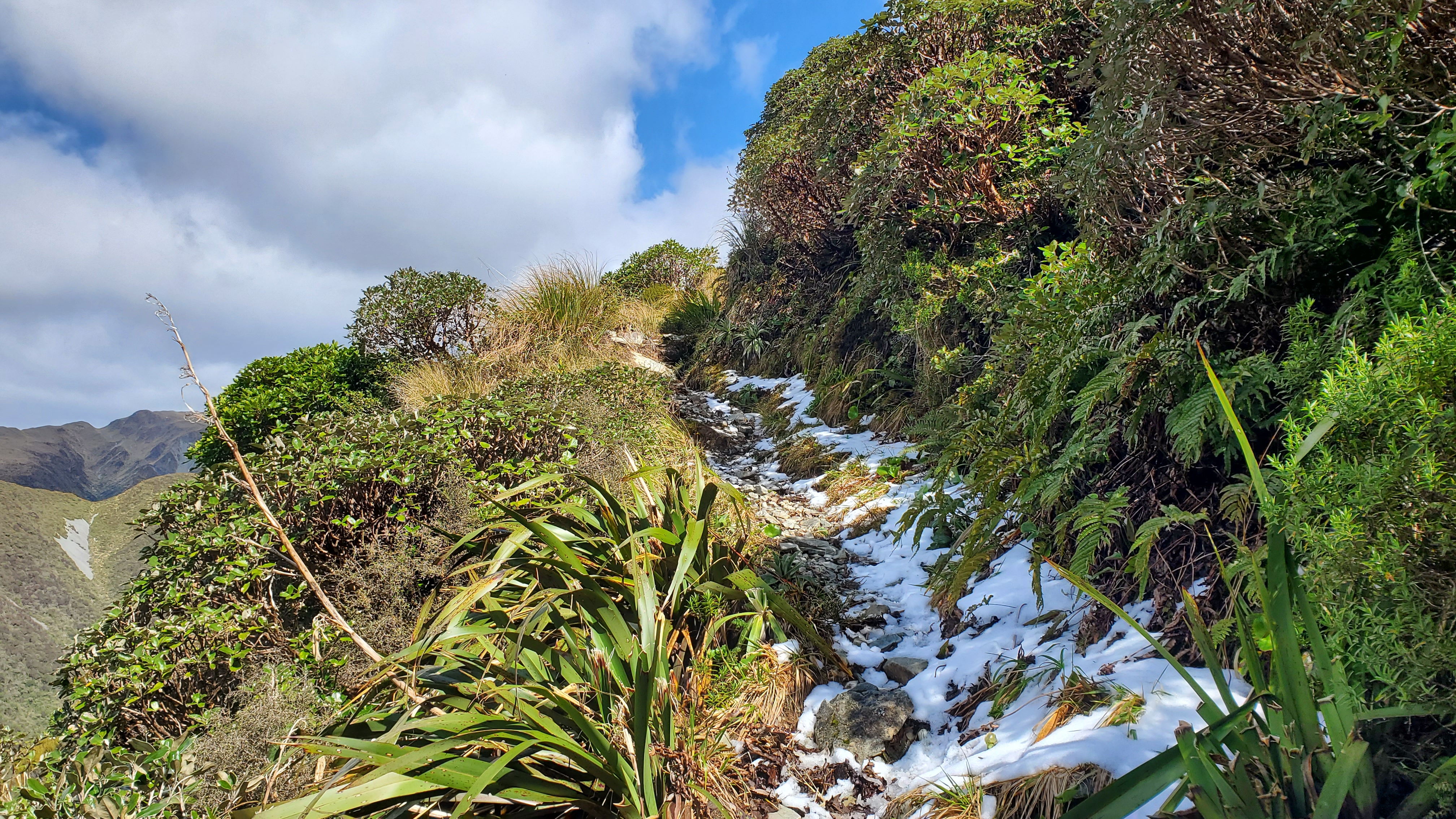
About ten minutes later we were out of the trees and enjoying the incredible views along the Otira Highway towards Arthur’s Pass and into the Kellys Creek valley. We passed a walker coming down who’d spent the night at the hut. This section of the track was beautiful and much easier to negotiate. At every corner, there were superb views. In one stretch snow still lay from the cold spell in the week.


Carroll Hut
At 10.50 am we reached the grassy slopes of the Kelly Range, turned a corner and saw the ten-bed Carroll Hut in the distance. It scores extremely highly on location, less highly I imagine in terms of night-time warmth, as there’s no stove (no firewood nearby to fuel one). Jules didn’t rate the loo particularly highly, whereas I gave it credit for not having any wasps.
We went inside for a break and a bite to eat. There were two hut books – one in the little hut book storage slot (where they always are) and a brand new one on the bench beside where we sat. I, like many other people, signed the wrong book, it being the first one I saw.
Across the Kelly Range
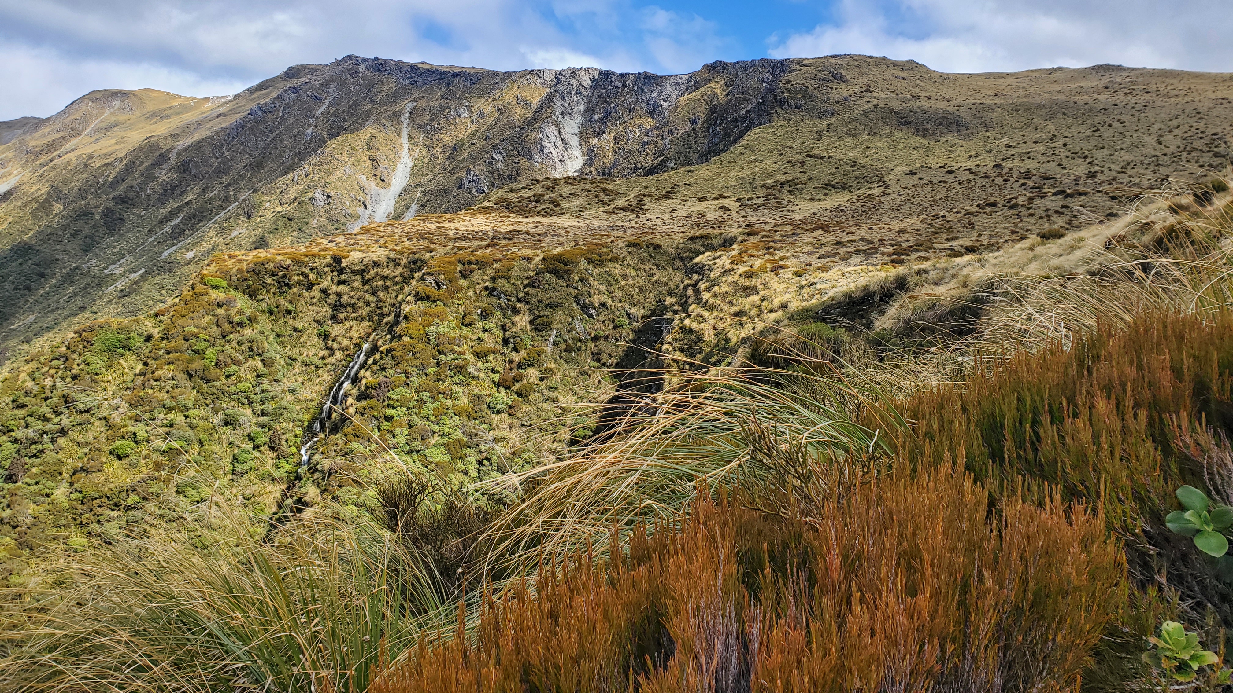
Leaving Carroll Hut at about 11.25 am we followed the markers behind the hut to the Kelly Saddle and the tarns. We continued on and the views got better and better.

We spotted three paragliders circling above Kellys Hill back to our right and we looked out on the Bald Range extending from Kellys Hill to the north. Behind was Mt Alexander. I’d spent an awesome three-day trip exploring the tarns and rock jumbles from the Camp Creek Route there a couple of years ago.


The track over the Kelly Range was undulating and easy to follow. However, you wouldn’t want to be up here in poor visibility and a howling gale. Even on a bluebird day, we’d taken the usual full precautions including PLB, warm layers, waterproofs, hats and gloves etc.
Just over an hour from Carroll Hut, at 12.30 pm, we were beneath pt 1385 overlooking the tarns and the incredible Southern Alps / Kā Tiritiri o te Moana. My one-year stint in Hokitika isn’t going to be nearly enough to make a dent in all the tramping I’d like to do here.
Towards the Taipo
It’s certainly worth walking this far to get a look at the big tarns and the mountains.


From the overlook, we could see the track continuing down to the Taipo River. I’d recently day-walked the Taipo into the Dillons Huts below the Kelly Range (pending a write-up). If you follow the track from here you end up at Dillons Homestead, something I’d be keen to do. It would be easy enough to leave your car at the Carroll Hut car park and hitch back from the Taipo.
If you decide to walk down to the Taipo bear in mind you’ll need to cross Seven Mile Creek, which was OK when I walked it, but soon becomes uncrossable in bad weather. The DOC website also mentions that access to the Taipo has been washed out in the lower sections of the creek with the river cutting into the bank.
Back to Carroll Hut and Out
We took an off-track route back to Carroll Hut, crossing to the east of pt 1385 and the ridge overlooking Kellys Creek. There were a couple of pockets of snow left and we both lost a leg in one. We made our way down the ridge, picking our way over the tussocks and boulders.


After sidling through a lumpy alpine garden (which would be amazing when the flowers are out) we met the track again at Kelly Saddle before crossing the little stream and descending to Carroll Hut.
We were back at the hut by 1.30 pm and had another ten-minute break for a quick bite to eat. We left at 1.40 pm and despite us thinking we’d spent ages coming down (picking our way carefully over the rock and tree roots) we were back at the car by 3.15 pm.