
Point Elizabeth Walkway
The Point Elizabeth Walkway is a popular 5.5 km coastal walk just north of Greymouth. The southern end of the walk starts from North Beach at Cobden and the northern end from the beach at Rapahoe, off the SH6.
DOC classifies the Point Elizabeth Walkway as an easy walking track, and it is a great option for families. Most of the way it was an even graveled track in good condition (with just a couple of small muddy sections towards Rapahoe). There is a hill to climb at each end to get up onto the clifftops, but aside from that it follows the route of an old gold mining water race and is mostly pretty flat. The hill doesn’t put people off though. I walked from Cobden towards Rapahoe on a cold Sunday afternoon in winter and met a couple of families, a number of other walkers and a couple of runners.
When I walked (June 2023) biking the Point Elizabeth walkway was allowed after dark from April to September and the access road to the car park at Rapahoe was closed for bridge repairs, so check the DOC website beforehand.

Timings
- DOC Time: 1 hour 45 mins one way
- My Time: 2 hours return

Point Elizabeth Walkway
I set off at 2.40 pm and enjoyed the first few minutes of climbing. Even if you don’t go any further, it’s worth the walk up the hill to look back at the beach and all the way down the coast to the Southern Alps. It was a little cloudy on the day I was there, but on a clear day, it would be magnificent.
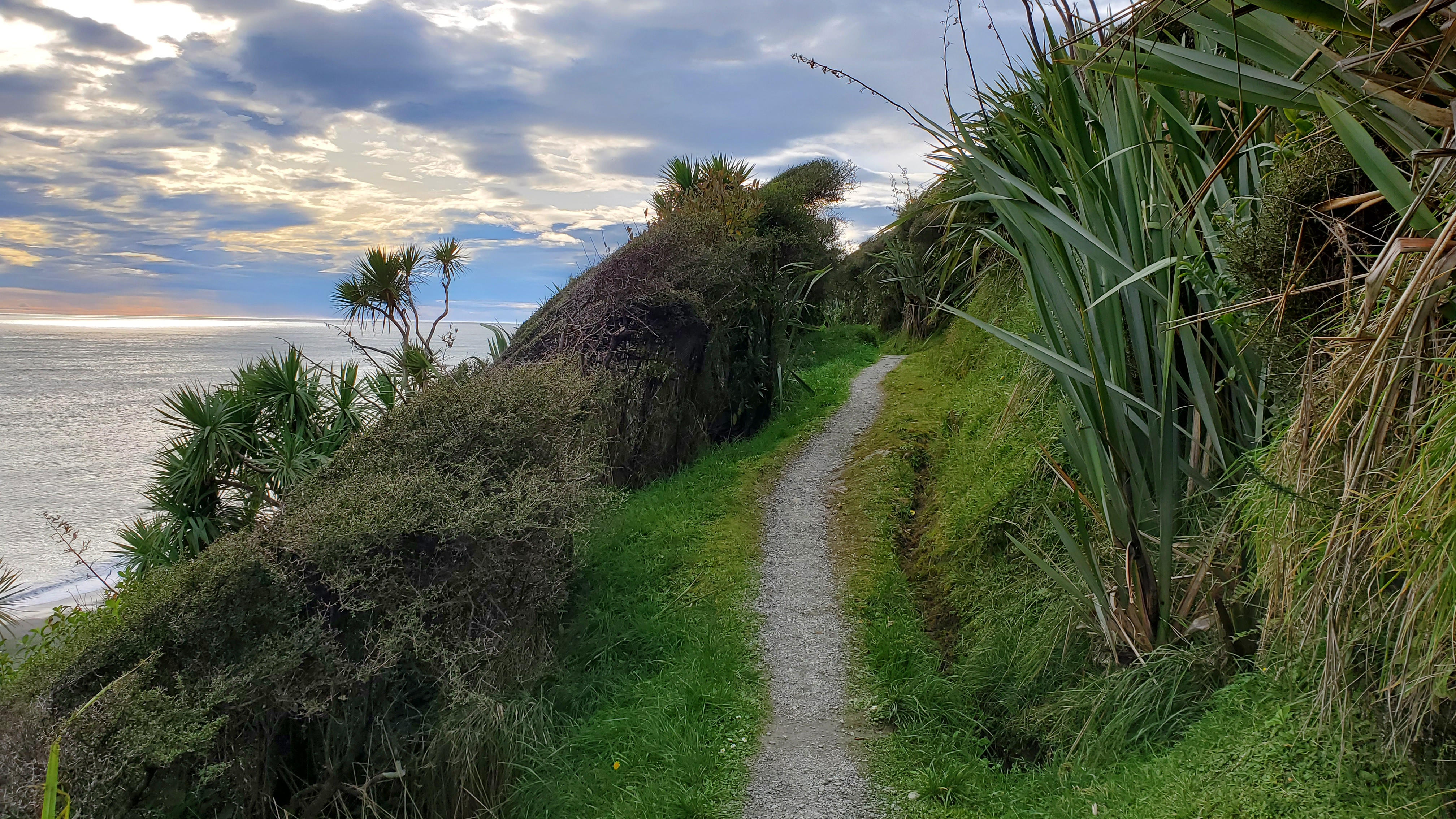

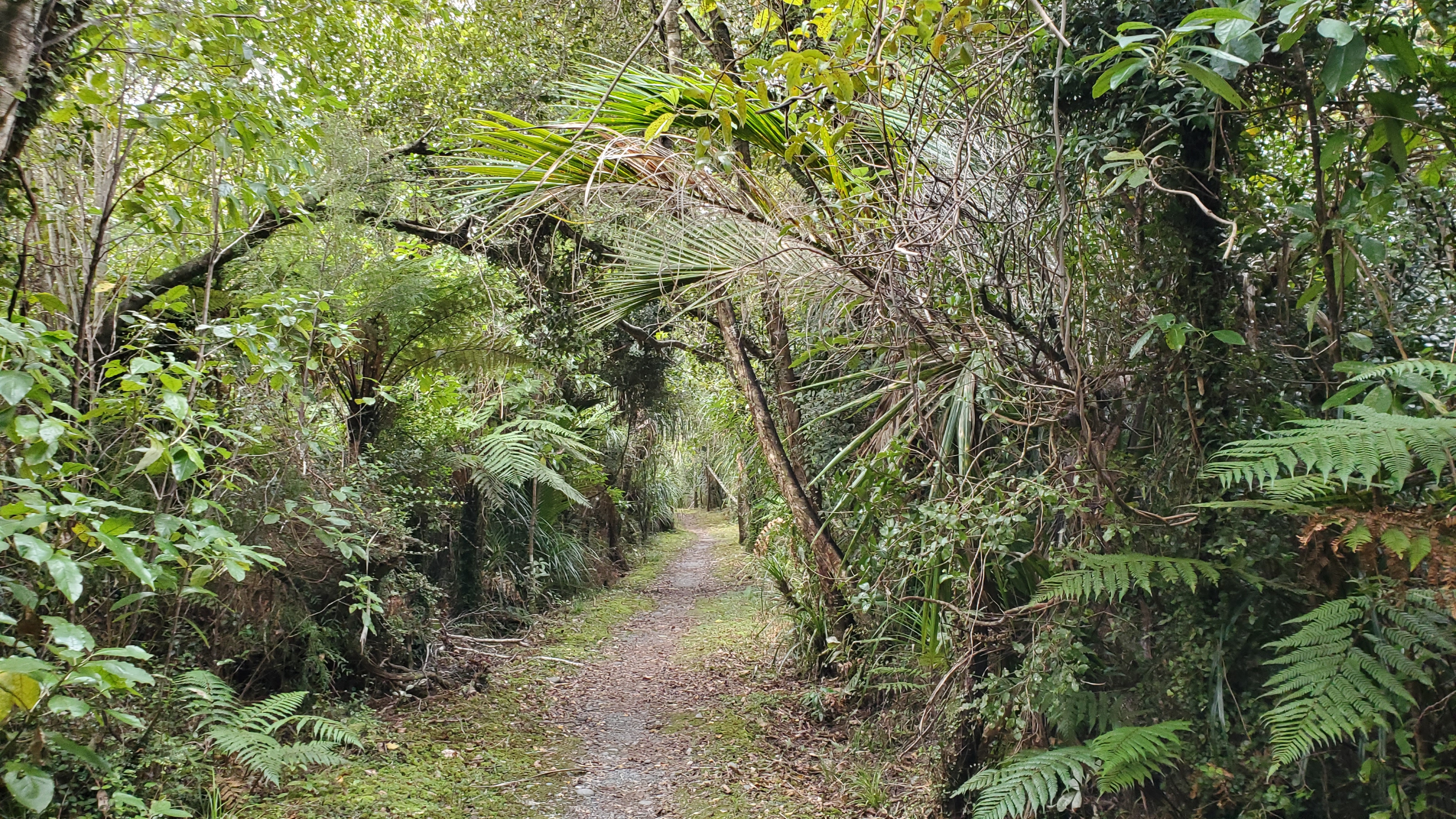
The track led up to a beautiful coastal forest with tree ferns, kie kie and nikau palms. There were several boards with information about the sub-tropical plants and wildlife, and smaller ones detailing the different trees.
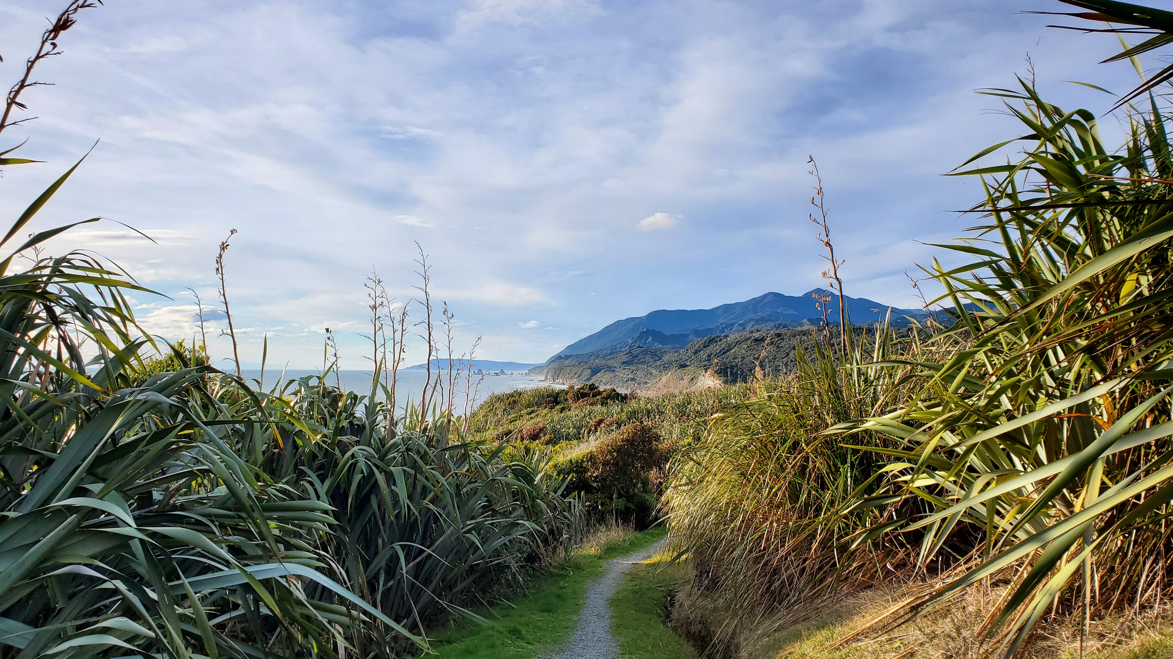
After ten minutes or so I left the trees and the track meandered through a thick forest of giant flax bushes. This was where I noticed the birds for the first time. I made a mental note to come back when the flax is in flower. I few minutes later I passed the junction to Rapahoe and continued on (left) to the lookout at the point. There wasn’t much in the way of shade here, so bring a hat and water if you’re coming in summer.


Point Elizabeth
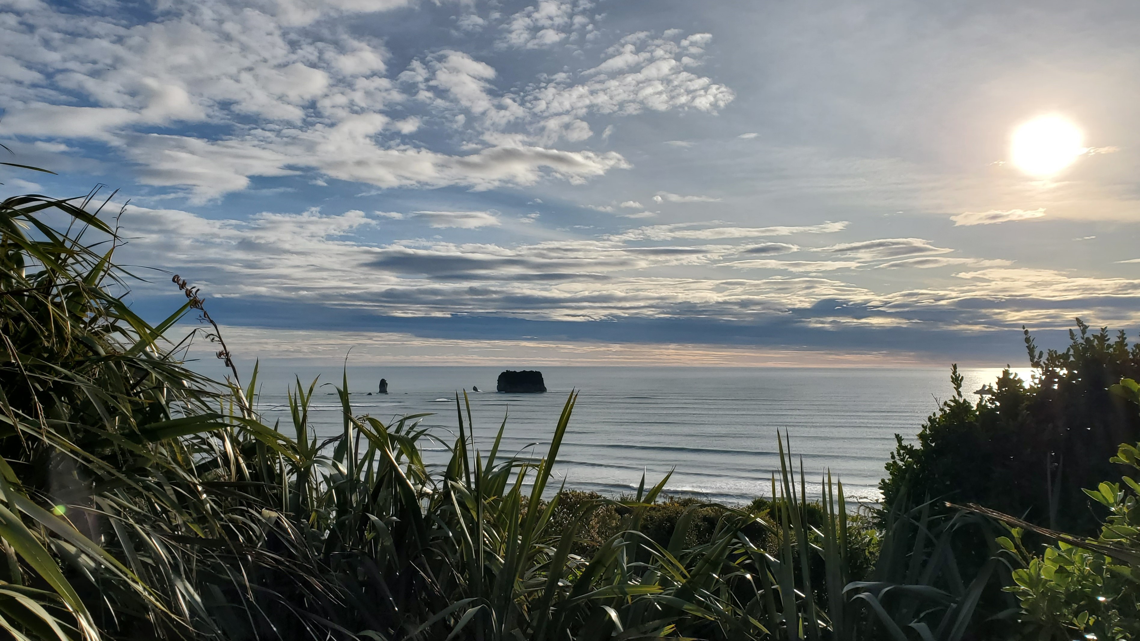
I reached the Point Elizabeth clifftop lookout twenty-five minutes after setting off. I had the views all to myself. Up the coast to the north including the offshore rock stacks and to my left the creamy white cliffs covered with flax. Inland you can see the Paparoa Range and the Rapahoe Range behind you.


Towards Rapahoe
Back at the junction, I took the left turn towards Rapahoe. The track led back into the forest and over a couple of small, bridged streams. Later, a large sign informed me I was in the Rapahoe Scenic Reserve (which I hadn’t realised until then). The trees were taller here, and upon my return, the DOC website told me that it is one of the finest remaining tracts of mixed coastal forest. It was certainly very beautiful.

The track came out into flaxes and low bushes again and wound downhill towards Rapahoe and into some steeper zigzags. Great views opened up of the Paparoa Range and Rapahoe Beach. At 3.40 pm an hour into the walk and almost at the beach I decided to leave it there. It was getting quite chilly in the late afternoon.


Back to North Beach Road
I turned and hurried back up the zigzags to warm up. half an hour later I was back at the Point Elizabeth turnoff, and back down at the car at 4.40 pm. I had some romantic ideas about watching the sunset from the beach and wandered down to sit on the stones and wait for it.
The sandflies put paid to that idea. With itchy ankles, I fled to the safety of the car and drove to the Northern Breakwater where the Grey River/Māwheranui meets the sea. The sunset was spectacular.

Click the links below for some of my other walks on the West Coast: