Today’s distance walked – approx 17 kms (10.5 miles).
Ascent – approx 400m (1312 ft).
I had a fabulous time off trail on days 28 and 29, highlights of which included the St Breward village summer carnival, visiting Bodmin Moor, and seeing practically all of Cornwall from its highest point. The weekend’s wildlife treats were seeing a large adder snake on the moors, and watching 3 badgers at close range at night, rooting around and playing, which was really special.
Today I was back on trail, out of Cornwall and back into Devon, with only 200 miles to go.
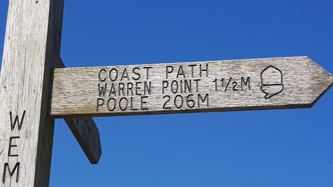
I caught the train into in Plymouth for midday and took a look at the route. I had planned on doing two sections today. One around Plymouth harbour 12kms, and the next from Mountbatten Point in Plymouth, to as far as I could get before the river Erme around 20kms. As I’d done a quick plan the evening before, I knew the river Erme can only be crossed by walking (there’s no ferry) at low tide, which is at 10.30am, so I aimed to camp approx 3 hours before the Erme tonight. The trouble was, that I’d failed to see that there was a ferry crossing today too, just past Wembury, and the ferry stopped running at 4pm. Rather than hang around for another day (to cross the Summer on the next low tide) I decided to skip the first section of walking around Plymouth city/harbour instead. I got a taxi from the railway station straight to Mountbatten Point – cutting out 12kms. It was another ridiculously hot sunny day, and to be honest I didn’t fancy the city walk of 12kms on hot tarmac.

The views at Mountbatten Point were amazing, both back into the city, and out to see. Plymouth has a long naval history and there are currently some large warships in the harbour which was cool to see. The trail passed by a couple of nice little beaches in Batten Bay, before continuing up onto the cliffs. Much of this section was through woodland, and it was a retired to be in the shade.

Rounding Staddon Point, there were great views across the breakwater in Plymouth Sound. I passed by the lovely little beach of Bovisand, which was packed with holiday-makers, same as Heybrook Bay a couple of Kms on. After this the trail kept close to the sea on nice flat terrain around to Wembury beach. I filled up with water here, as I wasn’t sure if I’d get to another village before settling in for the night.
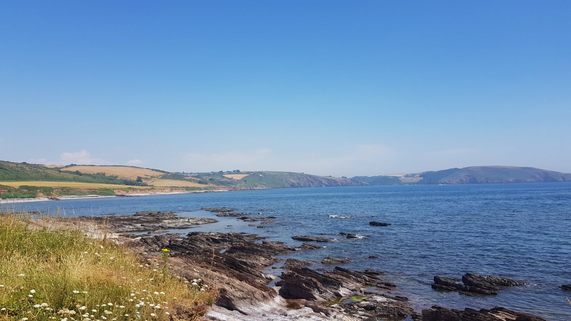
They’re was a bit of a climb out of Wembury, which was painful carrying 3.5kgs of water. Coming down the hill the river Yealm came into view – a beautiful little estuary.
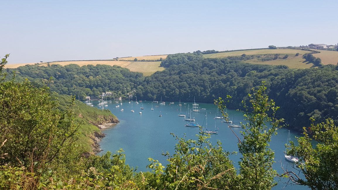
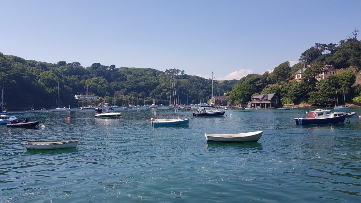
I signalled to the ferryman, by lowering the wooden board, to reveal a white painted circle. This can be seen from wherever he is in the estuary. He arrived in minutes, and took me across to Ferry Wood. I chatted to some locals for a while, enjoying the sun and the river, before setting off again.
The trail climbed up into Passage Wood, past some Coastguard cottages and out onto the clifftops and a wide track ‘Lord Revelstoke’s Drive’ which apparently he built in the 1880s to provide ‘an impressive carriageway for his visitors’. It was a really nice section and I with no more ups and downs, I enjoyed it despite the sun and heat.
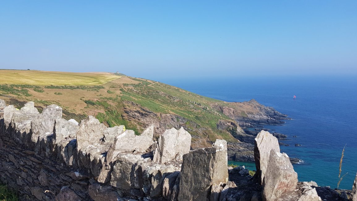
I stopped just after Hilsea Point on a sheltered flat spot on the cliff, below an abandoned coastguard cottage (which was full of sheep!). In the late afternoon a haze came over, and you couldn’t tell where the sea ended and the sky began. It was beautiful!


